World-class. Transformational. First-rate. Words the city if Louisville should be proud of. Forget the bridges or Museum Plaza, here today we are talking about parks. Four to be exact. All of which will be integrated into one 4,000 acre park along the floodplains and hillsides of Floyds Fork. If you still aren't aware of the amazing project going on right in your backyard, head over to The Parklands website right away to see what it is all about.
I have blogged about part of The Parklands project before, check out my post on Miles Park. Miles Park was a city park until this year when it was handed over along with Floyds Fork Park to be managed by The Parklands. It will eventually be integrated into Beckley Creek Park, the first part of the project that will begin to open in May. Beckley Creek Park will host several amenities, such as the 23-acre Egg Lawn that will hold concerts and events, the Creekside Playground and splash park, an education center, canoe launch, not to mention trails, picnic areas, and part of the 100-mile Louisville Loop bike trail. It is under construction as we speak. Check out this slide show from the Courier-Journal showing the beginning stages of construction on the Creekside Playground. Learn more about this part of the project here and here. Check out the interactive map below to see where Beckley Creek Park, Turkey Run Park, and the other parks are located.
Now to the reason for this post. Last Saturday I was privileged enough to be able to join a public hike led by The Parklands naturalist Michael Gaige. Michael is extremely knowledgeable about nature and landscapes and provided us many insights to the land that comprises the park. The hike was a tour of what will become Turkey Run Park and its streams, forests, and sunny hillsides. So let's get started on the tour shall we?
Turkey Run Park begins at Seatonville Road and consists of forests and hillsides around Turkey Run, which is a stream that empties into the Fork. When completed in 2015, it will boast and extensive trail system, adventure programming, and camping sites. Check out the map of the park below.
We started at the Stout House (which I forgot to take a photo of), an old house at one time owned by Daniel Boone's brother Squire Boone. You can read Bob Hill's article on the history of the house here. An Eastern Phoebe was checking out some of the cracks and crevices in the chimney for a possible nesting site, slightly aggravated at the number of people and cars that suddenly appeared. It flew to a nearby branch, watching and pumping its tail, waiting for the intruders to start their hike so it could canvass the nooks and crannies of the house once more for the perfect spot to raise a family.
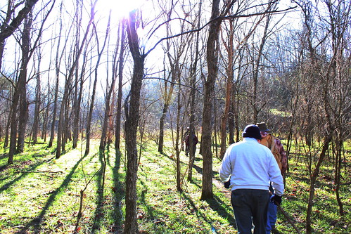
We headed down the road and into the woods to start our hike. The woods that make up the park are all of different ages, regrown from abandoned farms over the past century. Some sections contain small bole trees from fields abandoned in the last 20-30 years, while the forests on the hillsides seem to be older and have larger, more stately trees. The forests promises to grow even more beautiful through the years as old fields turn into old forests, and become more ecological complex and complete. Even Bernheim Forest was started from logged forests and worn out farmland and fields, and look how breathtaking it is today.
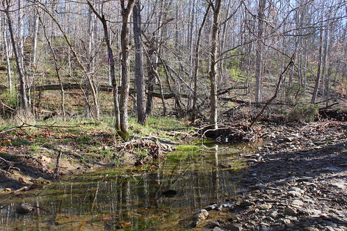
We first passed over Turkey Run, the creek that gives the park its name. It feeds into Floyds Fork and it itself is formed from runoff from the hillsides and intermittent branches like the one below.
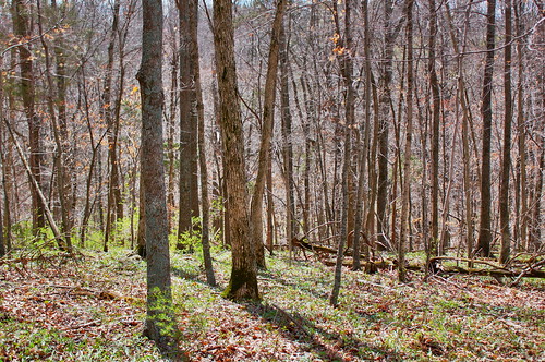
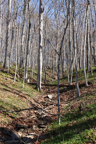
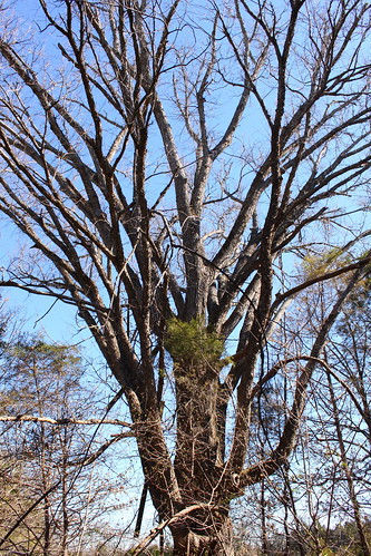
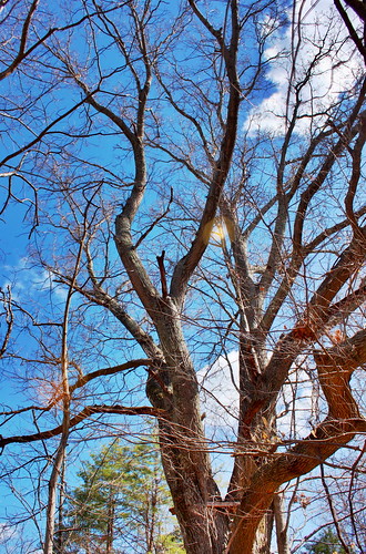
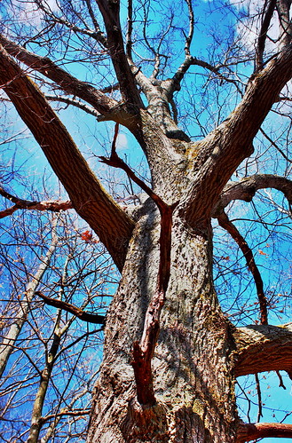
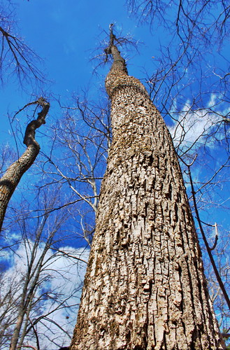
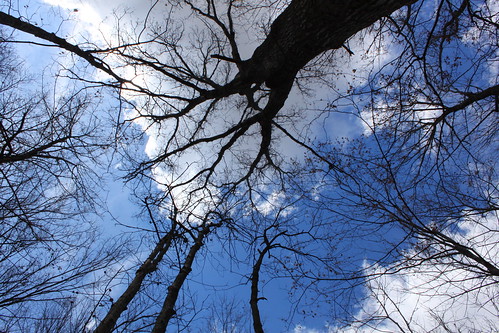
The main attraction of Turkey Run Park are the forests that cover the hillsides. Most of the trees are of moderate size and diameter, but there are a few "legacy trees" as Michael calls them. These legacy trees are trees that are old, large, and serve as a gathering point for wildlife. Many of the legacy trees in Turkey Run Park are relics from the time the land was used to graze cattle. In that time most of the forest was logged, but lone trees were left standing to provide shade and a cool place for cattle to gather on hot summer days. Today the trees serve as a focal point for wildlife. These old trees seem to attract a higher diversity of birds and mammals to them. Michael said this is likely because the bark is old and furrowed, making for great hiding places for insects. The number and diversity of insects in the bark attracts a variety of birds and mammals, such as woodpeckers and raccoons. Here are some of the trees that grow in the forest.
Michael has an innate ability to read the landscape, paying close attention to its features, and from them discern how the land may have been used in the past. He estimates the age of the forest based on the size of the trees, whether the forest was used for growing crops or grazing livestock based on the presence and diversity of wildflowers on the forest floor, he believes he might even be able to tell you what kind of animal grazed the land based on the presence or absence of the Osage-Orange tree. Osage-Orange, or Hedge Apple to some, is a tree that historically ranged from parts of Texas and Oklahoma. It now is found nationwide, including in Kentucky. The tree produces a large fruit that is rarely utilized by wildlife. It is believed to have been eaten and dispersed by large animals such as giant ground sloths or mastadons. When those animals went extinct, the tree lost its main seed disperser, as few other animals were large enough to eat such a big fruit. Then how did it get from Texas to Kentucky? A new disperser was brought in by man, the modern horse. Horses are one of the few animals that are known to eat the fruit and spread it across the country when it was being settled. So that is how Michael believes he can tell a field that pastured cows from one the pastured horses. The forests and thickets that have an abundance of Osage-Orange were used for horses because they are the only animals that can eat and disperse its seeds. Pretty neat huh?
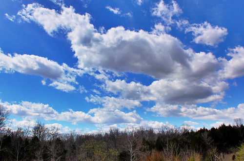
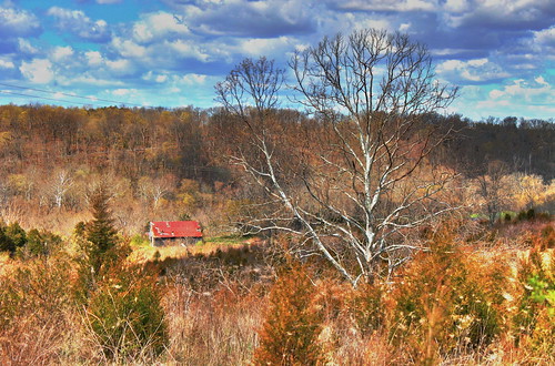
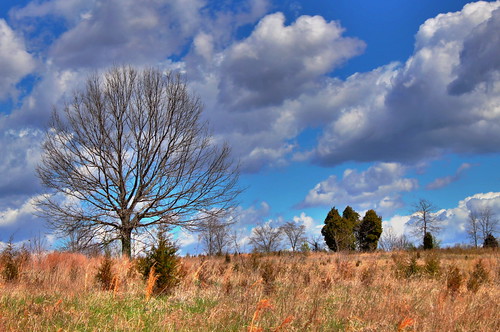
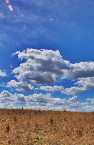
After walking through the woods and hearing the songs of Pine Warblers and a Louisiana Waterthrush, we broke through the edge of the forest and entered the fields of Sugar Hill and Sky Meadows. Appropriately enough we were greeted by the song of the Field Sparrow as we entered the fields. Some liken its song to the sound a coin makes when it falls after being spun. We were also greeted by beautiful big blue skies and white puffy clouds. It was the kind of place where you could sit and watch the day pass without even noticing. See for yourself.
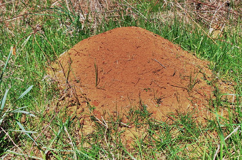
In all the fields there were giant ant hills belonging to the Allegheny Mountain Ant. Most hills were built in such a way that the sun would hit them and warm up the colony inside. Michael told us that the anthill is a bit like an iceberg, only 10% of it is on the surface, the other 90% underground and out of view.
I have just scratched the surface of some of the things I learned about nature and the park on the hike. I would highly recommend you visit the website and get on the list for one of the nature walks. You will learn a lot and get a sneak peak at what we have to look forward to in the next couple years. The whole project truly does deserve to be called world-class, transformational, first-rate, and so much more.


 12:12 AM


 Posted in:


0 comments:
Post a Comment